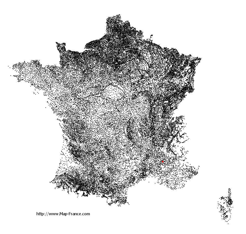
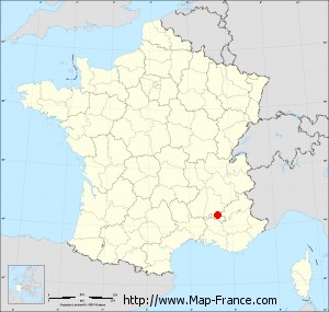
Le Poët-Sigillat on the relief France map in Lambert 93 coordinates
|

See the map of Le Poët-Sigillat in full screen (1000 x 949)
|
At left, here is the location of Le Poët-Sigillat on the relief France map in Lambert 93 coordinates.
Here are the altitudes of Le Poët-Sigillat :
- Town hall altitude of Le Poët-Sigillat is 760 meters
- Minimum altitude of Le Poët-Sigillat is 433 meters
- Maximum altitude of Le Poët-Sigillat is 1 301 meters
- Medium altitude of Le Poët-Sigillat is 867 meters
Here are the altitudes of Valence, prefecture of Drôme department:
- Town hall altitude of Valence is 126 meters
- Minimum altitude of Valence is 106 meters
- Maximum altitude of Valence is 191 meters
- Medium altitude of Valence is 149 meters
Here are the altitudes of the french biggest cities:
Paris : 33 meters
Marseille : 20 meters
Lyon : 237 meters
Toulouse : 146 meters
Nice : 10 meters
Nantes : 20 meters
Strasbourg : 144 meters
Montpellier : 35 meters
Bordeaux : 16 meters
Lille : 20 meters
Rennes : 35 meters
Reims : 83 meters
Click here for the terrain map of Le Poët-Sigillat in full screen:
Relief map of Le Poët-Sigillat
|
This relief map of Le Poët-Sigillat is reusable and modifiable by making a link to this page of the Map-France.com website or by using the given code :
|
Terrain base map of Le Poët-Sigillat
|

See the terrain base map of Le Poët-Sigillat in full screen (1000 x 949)
|
Small relief base map of Le Poët-Sigillat

|
This base map of Le Poët-Sigillat is reusable and modifiable by making a link to this page of the Map-France.com website or by using the given code :
|
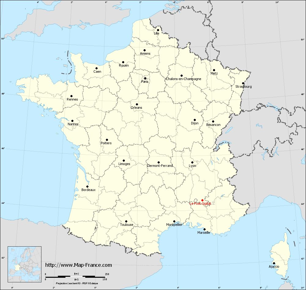
Map of Le Poët-Sigillat with regions and prefectures
|
View the map of Le Poët-Sigillat in full screen (1000 x 949)
|
You will find the location of Le Poët-Sigillat on the map of France of regions in Lambert 93 coordinates. The town of Le Poët-Sigillat is located in the department of Drôme of the french region Rhône-Alpes.
Geographical sexagesimal coordinates / GPS (WGS84):
Latitude: 44° 22' 08'' North
Longitude: 05° 19' 01'' East
Geographical decimal coordinates :
Latitude: 44.369 degrees (44.369° North)
Longitude: 5.316 degrees (5.316° East)
Lambert 93 coordinates :
X: 8 846 hectometers
Y: 63 660 hectometers
Lambert 2 coordinates :
X: 8 377 hectometers
Y: 19 342 hectometers
Below, the geographical coordinates of Valence, prefecture of the Drôme department:
Geographical sexagesimal coordinates / GPS (WGS84):
Latitude: 44° 55' 57'' North
Longitude: 04° 53' 27'' East
Geographical decimal coordinates :
Latitude: 44.927 degrees (44.927° North)
Longitude: 4.895 degrees (4.895° East)
Lambert 93 coordinates :
X: 8 492 hectometers
Y: 64 277 hectometers
Lambert 2 coordinates :
X: 8 017 hectometers
Y: 19 957 hectometers
|
This map of Le Poët-Sigillat is reusable and modifiable by making a link to this page of the Map-France.com website or by using the given code :
|
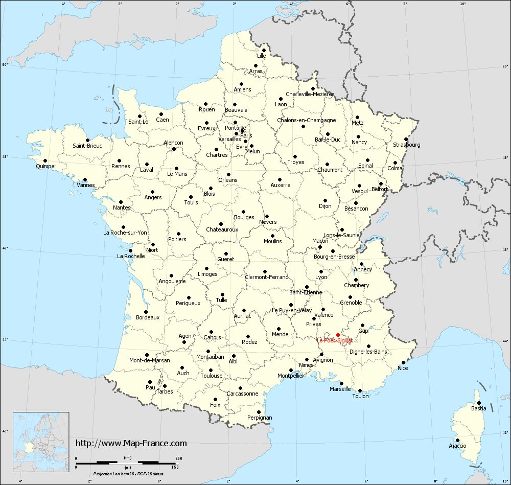
Map of Le Poët-Sigillat with departments and prefectures
|
Voir la carte of Le Poët-Sigillat en grand format (1000 x 949)
|
Here is the localization of Le Poët-Sigillat on the France map of departments in Lambert 93 coordinates. The city of Le Poët-Sigillat is shown on the map by a red point.
The town of Le Poët-Sigillat is located in the department of Drôme of the french region Rhône-Alpes.
The latitude of Le Poët-Sigillat is 44.369 degrees North.
The longitude of Le Poët-Sigillat is 5.316 degrees East.
Here the distance between Le Poët-Sigillat and the biggest cities of France:
Distances are calculated as the crow flies (orthodromic distance)
Distance between Le Poët-Sigillat and Paris : 547.99 kilometers
Distance between Le Poët-Sigillat and Marseille : 119.29 kilometers
Distance between Le Poët-Sigillat and Lyon : 159.03 kilometers
Distance between Le Poët-Sigillat and Toulouse : 320.64 kilometers
Distance between Le Poët-Sigillat and Nice : 172 kilometers
Distance between Le Poët-Sigillat and Nantes : 618.95 kilometers
Distance between Le Poët-Sigillat and Strasbourg : 504.07 kilometers
Distance between Le Poët-Sigillat and Montpellier : 142.93 kilometers
Distance between Le Poët-Sigillat and Bordeaux : 468.88 kilometers
Distance between Le Poët-Sigillat and Lille : 715.88 kilometers
Distance between Le Poët-Sigillat and Rennes : 678.96 kilometers
Distance between Le Poët-Sigillat and Reims : 551.85 kilometers
Clic here to see the map of Le Poët-Sigillat in full screen:
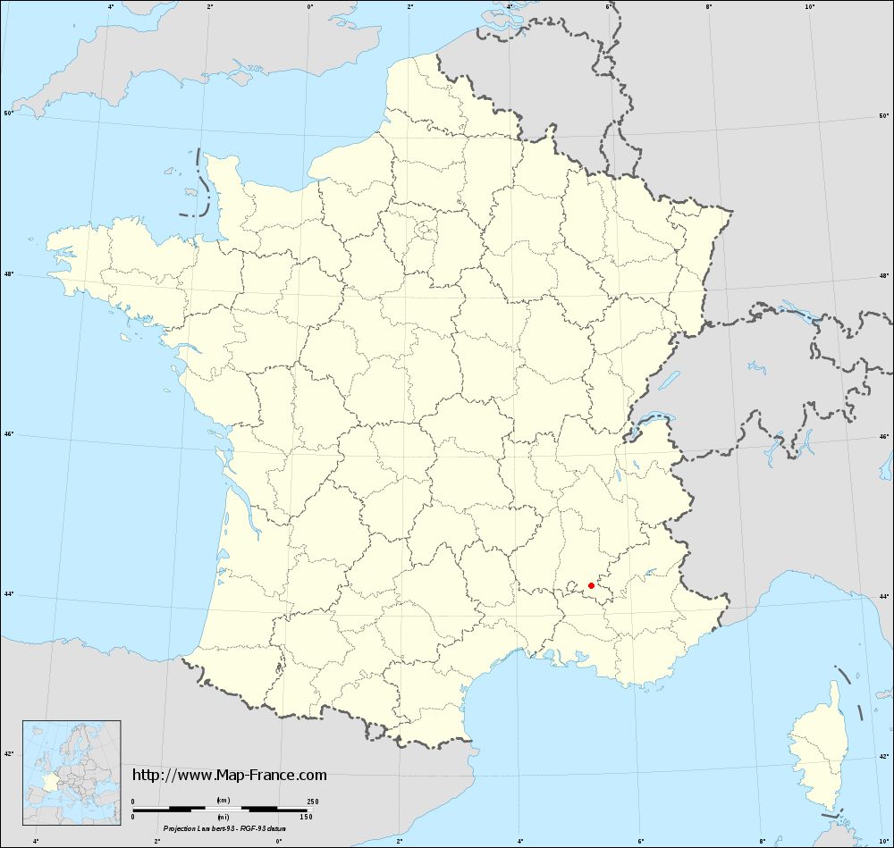
Le Poët-Sigillat on the map of french departments
|
This administrative map of Le Poët-Sigillat is reusable and modifiable by making a link to this page of the Map-France.com website or by using the given code :
|
Administrative base maps of Le Poët-Sigillat
|
See the administrative base map of Le Poët-Sigillat in full screen (1000 x 949)
|
Small administrative base map of Le Poët-Sigillat
|
This base map administrative of Le Poët-Sigillat is reusable and modifiable by making a link to this page of the Map-France.com website or by using the given code :
|
 French Version : http://www.cartesfrance.fr